


most recent update of this page
25 February 2023











Ruta Castillo del Portazgo y Castillo de la Asomada Murcia
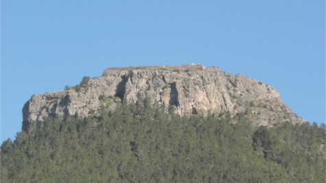
This walk through the Parque Regional El Valle y Carrascoy starts at el Castillo de Portazgo and ends at the top at the ruins of el Castillo de la Asomada. You can park your car at the Area de Recreo Castillo de la Asomada located along the Autovia de
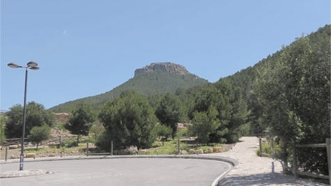
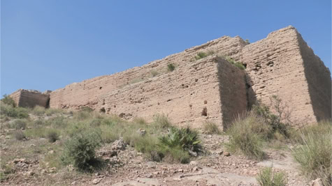
Murcia. What you see at the end of the parking lot are the ruins of el Castillo del Portazgo. Actually, this is only part of a larger whole because el Castillo del Portazgo is separated by the Autovia de Murcia and is therefore on two different levels. The part of the car park is called el Castillo del Portazgo bajo where
the stables of the castle were located. The part across the highway is el Castillo del Portazgo alto and was the actual fortress. To visit this castle, take the path between the highway and the castle. On your left you will come across a tube through which you can cross the highway. Once on the other side you have a gate and a staircase that gives you access to el Castillo del Portazgo.
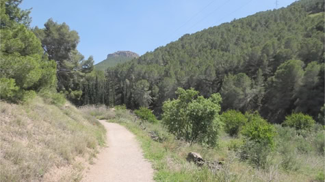
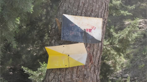
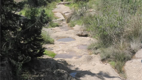
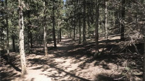
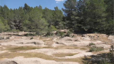
To reach el Castillo de la Asomada, leave from the parking lot and take the path along the picnic area. You follow this path to two upright stones, la Tercera divisién Forestal. They kind of remind you of tombstones. From there, head towards the Pozas from the Rambla del Puerto de la Cadena. There is water in the pozas all year round. The amount depends on the weather conditions. Cross this pozas. Normally this should go smoothly unless you are doing the hike after heavy rain but we do not recommend that. If you look closely, you should already see white and yellow paint lines on a stone. Sometimes it takes quite a bit of searching because the lines are not always clearly visible. As long as you come across these lines regularly, you are on the right path. You now walk to the left along the pozas.
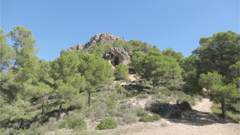
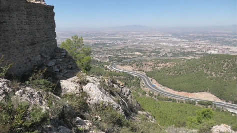
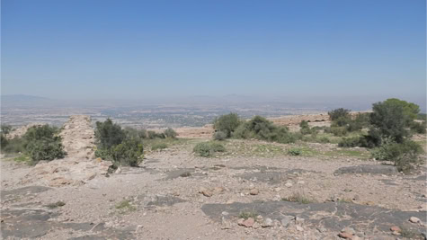
A little further you have to cross the pozas again. The white and yellow paint line is on a stone on the opposite side of the pozas. Now you are on the path to el Castillo de la Asomada. From here the climbing is blown, about 340 meters in total. After about 30 minutes of walking you will come across a junction. Keep left. A little later you will come across a large stone with a mark both to the left and to the right. Take the fairly steep climb to the right. Once you have conquered this slope, you will arrive at a flat plateau known as Collado Mosqueras. This is a nice place to catch your breath and enjoy the view. You can visit the Cueva del Castillo on your left. Also on your left you will see another path that goes up towards el Castillo de la Asomada.
This may be the most difficult part of the hike as it is a rocky area. Make your way up but be careful. Some stones can be slippery. The castle is now within reach.
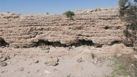
El Castillo de la Asomada was built around the 12th century with the aim of defending the area between the coast and the interior, but it was never fully completed. You can return via the same path or you can take an alternative route.
entrance fee
* free
opening hours
* always accessible
address
* castle
GPS 37°54'04.6"N 1°09'04.8"W - 37.901276, -1.151340
* parking : close to end of Paraje los Melgarejos,
30155 Murcia (next to motorway)
GPS : 37°54'32.2"N 1°09'45.4"W - 37.908938, -1.162606
distance
* Torrevieja : 64 km, 58 minutes
* Guardamar : 71 km, 56 minutes
* La Marina : 74 km, 58 minutes